Hugo Schwarz · 27 September 2026
Bridging Traditional Knowledge and Satellite Data for Tracking Wildlife Route Changes in Northern Regions
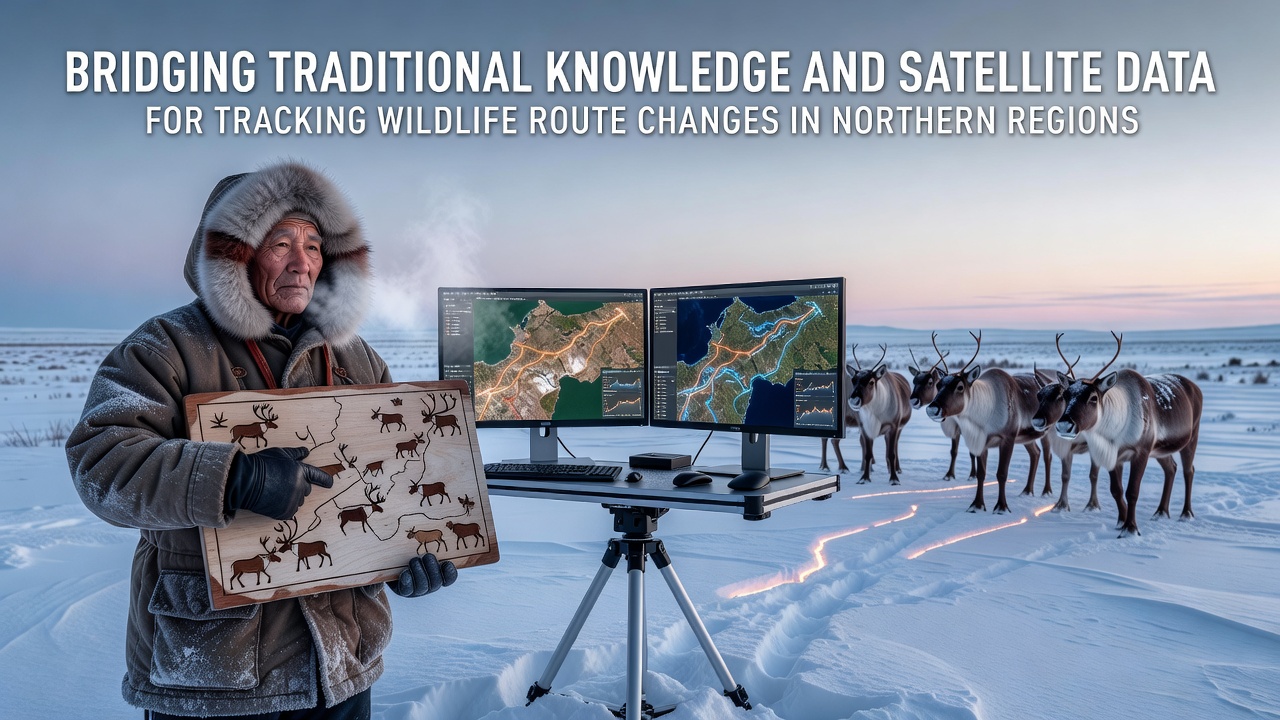
Northern wildlife populations have shown measurable shifts in migration patterns over recent decades, and researchers now combine satellite observations with generations of local observations to document these changes. Data from collar-mounted GPS devices and habitat mapping satellites reveal that caribou herds in Arctic Canada have adjusted routes by hundreds of kilometers in some areas since the early 2000s, while reindeer movements in Scandinavia reflect similar adjustments tied to changing snow conditions and vegetation growth. Traditional knowledge from Inuit, Sámi, and other northern communities supplies historical context that satellite records alone cannot provide, including details on seasonal timing and behavioral responses passed down through oral histories and hunting records.
Traditional Knowledge Systems in Northern Wildlife Tracking
Communities across the Canadian Arctic and Alaska have maintained detailed records of animal movements through direct observation and intergenerational transmission, and these accounts often note specific landmarks, river crossings, and calving grounds used over multiple decades. In September 2026 monitoring updates, several programs highlighted how such knowledge helped identify previously undocumented fallback routes that caribou adopted during low-snow winters. Observers note that hunters and elders describe subtle cues, such as changes in wind patterns or plant availability, which influence route selection long before satellite sensors detect vegetation shifts. Researchers have integrated these accounts into databases by mapping oral descriptions onto geographic coordinates, creating layered records that span both recent satellite eras and earlier periods without remote sensing coverage.
Satellite Technologies and Their Contributions
Earth observation satellites operated by agencies including NASA and the European Space Agency supply repeated imagery of snow cover, ice thickness, and plant productivity across vast northern territories where ground access remains limited. GPS collars deployed on individual animals transmit location data at regular intervals, allowing analysts to calculate average travel speeds and corridor widths for entire herds. One study revealed that polar bear movements near Hudson Bay shifted northward by approximately 80 kilometers between 2010 and 2025, correlating with earlier sea-ice breakup dates recorded by microwave sensors. These quantitative datasets provide consistent measurements across years and seasons, yet they require ground validation to interpret behavioral drivers such as avoidance of industrial activity or pursuit of specific forage species.
Methods for Integrating Both Knowledge Sources
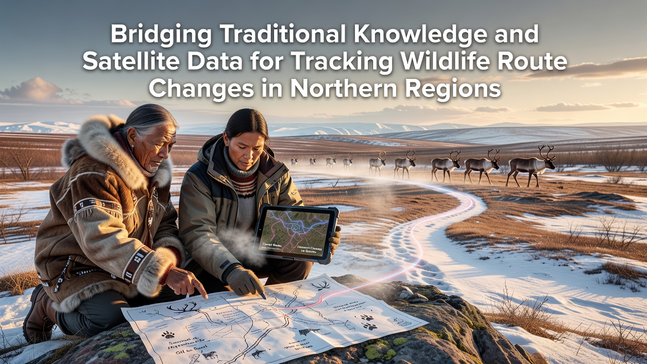
Collaborative projects in northern Canada and northern Norway bring together community members, wildlife biologists, and remote-sensing specialists to align traditional observations with satellite outputs. Teams use participatory mapping sessions where elders mark historical routes on digital overlays of current satellite imagery, and discrepancies between the two sources prompt further field checks or analysis of collar data. Software platforms allow simultaneous viewing of time-series vegetation indices and oral accounts of berry availability or insect harassment that may push animals toward different elevations. Data shows that such combined approaches improved prediction accuracy for spring migration timing by 25 percent in tested regions compared with satellite-only models. Government agencies in Canada and Finland have begun incorporating these hybrid datasets into management plans for protected areas and harvest quotas.
Documented Route Changes and Case Examples
Caribou populations in the Porcupine herd have altered their winter range boundaries in response to shifting snow depths, with satellite collar data confirming a 15 percent expansion eastward between 2015 and 2025 while community reports supplied details on new river crossings that appeared after certain ice conditions changed. In northern Sweden, Sámi reindeer herders documented earlier spring migrations that aligned with satellite-derived green-up dates advancing by roughly ten days over the same period. Researchers discovered that muskoxen near the Beaufort Sea expanded their coastal use during summers with reduced sea ice, information first noted in local observations and later confirmed through high-resolution imagery analysis. These examples illustrate how traditional accounts often flag emerging patterns that satellites then quantify across larger spatial scales.
Challenges in Data Combination and Validation
Differences in spatial and temporal resolution create ongoing technical hurdles, since satellite pixels may average conditions over several square kilometers while local knowledge describes microhabitats only meters across. Language translation and cultural protocols require careful handling when converting oral descriptions into standardized geographic information system formats. Access to remote northern communities remains weather-dependent, and collar deployment on animals raises ethical considerations that both scientists and community councils address through joint review processes. Despite these obstacles, joint working groups have produced standardized data-sharing agreements that respect intellectual property rights attached to traditional knowledge while allowing open scientific use of anonymized location records.
Conclusion
Projects that merge traditional knowledge with satellite observations continue to expand across northern regions, supplying more complete pictures of wildlife route adjustments than either source can deliver alone. Ongoing work in September 2026 and beyond focuses on refining integration tools and extending coverage to additional species and territories. Government agencies, research institutions, and community organizations maintain active partnerships that support both conservation planning and cultural continuity in regions experiencing rapid environmental shifts.