Parker Becker · 25 October 2026
Permafrost Thaw Unlocks Ancient Carbon Deposits Across Northern Tundra Zones
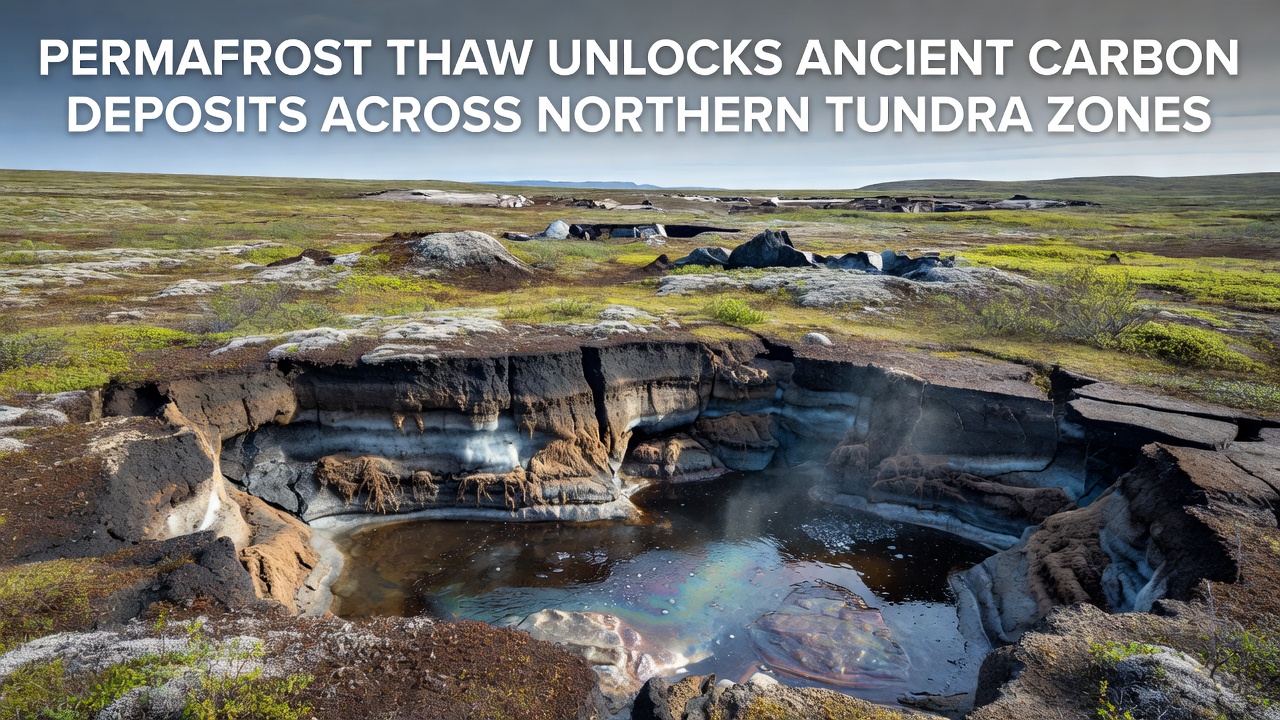
Permafrost across northern tundra zones holds vast stores of organic carbon accumulated over millennia and researchers continue to track how rising temperatures accelerate its release into the atmosphere through gradual thaw processes that have intensified in recent decades. Studies from multiple field sites in Alaska, Canada and Siberia show that active layer deepening allows previously frozen material to decompose, producing carbon dioxide and methane at measurable rates. Data collected through ground sensors and satellite observations reveal consistent patterns of subsidence and thermokarst formation that expose deeper layers each summer.
Extent and Composition of Northern Permafrost
Permafrost underlies approximately 24 percent of exposed land in the northern hemisphere with the thickest deposits concentrated in Arctic tundra regions of Russia, Canada and Alaska where mean annual ground temperatures remain below zero degrees Celsius. Core samples analyzed by geologists indicate that these deposits contain roughly twice the amount of carbon currently present in the atmosphere, locked in frozen soils, peat and sediments that accumulated during colder climatic periods. When thaw begins, microbial activity converts this ancient organic matter into greenhouse gases, and the process accelerates once water pools form on the surface because saturated conditions favor methane production over carbon dioxide.
Mechanisms Driving Carbon Release
Thaw proceeds through both gradual active-layer thickening and abrupt events such as retrogressive thaw slumps that can expose meters of frozen material in a single season. In regions where ice wedges melt, surface collapse creates depressions that collect water and further insulate the ground during winter while promoting anaerobic decomposition in summer. Monitoring networks operated by institutions in North America and Eurasia record rising methane concentrations above these features, and flux tower measurements confirm that net carbon emissions from some tundra sites have shifted from sinks to sources during the past two decades. While colder winters can refreeze upper layers, the overall trend shows that each successive year leaves deeper permafrost vulnerable because summer heat penetrates farther than before.
Regional Observations and 2026 Data Trends
Field campaigns conducted through October 2026 in the Canadian Arctic and Siberian lowlands documented accelerated subsidence rates at several long-term study plots where thaw depths exceeded previous records by 15 to 20 centimeters. Researchers using airborne lidar and ground-penetrating radar mapped expanding networks of thermokarst lakes and drainage channels that connect previously isolated carbon pools to river systems. According to NASA Earth Observatory reports, satellite-derived surface temperature anomalies over tundra zones remained elevated throughout the 2026 melt season, sustaining decomposition activity into early autumn. Parallel measurements from Canadian government permafrost stations indicate that dissolved organic carbon concentrations in runoff streams rose measurably compared with baseline values collected five years earlier, pointing to increased mobilization of ancient material into aquatic environments.
Feedback Loops and Broader System Impacts
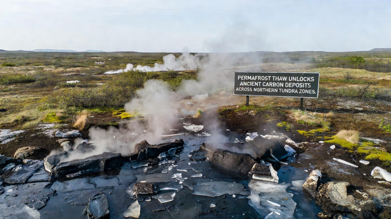
Once carbon enters the atmosphere or adjacent water bodies, it contributes to further warming that can extend the thaw season and deepen the active layer in subsequent years, creating a self-reinforcing cycle documented at multiple circumpolar sites. Hydrological changes accompany these shifts as thawing ground alters drainage patterns and increases erosion along riverbanks where permafrost bluffs collapse. Aquatic ecosystems downstream receive pulses of nutrients and organic matter that affect primary productivity and greenhouse gas exchange in lakes and coastal zones. Observers note that these interconnected processes extend beyond immediate tundra boundaries because riverine transport can carry carbon hundreds of kilometers before it reaches marine environments where additional microbial processing occurs.
Monitoring Networks and Research Coordination
International programs coordinate ground-based measurements with remote sensing platforms to quantify carbon fluxes across representative tundra landscapes. Networks maintained by agencies in Canada, the United States and Russia collect continuous data on soil temperature, moisture and gas concentrations, while aircraft campaigns sample atmospheric composition above key regions during peak thaw periods. Peer-reviewed analyses in Nature Geoscience synthesize these datasets to estimate annual carbon releases from permafrost regions and to refine model projections of future emissions under different warming scenarios. Such coordinated efforts allow comparison of conditions across diverse geological and climatic settings from the North Slope of Alaska to the Lena River delta.
Conclusion
Permafrost thaw continues to expose ancient carbon deposits throughout northern tundra zones, with measurements from 2026 confirming ongoing deepening of the active layer and increased gas fluxes at multiple long-term sites. Coordinated monitoring by government and academic institutions documents the spatial extent of these changes and their links to hydrological and atmospheric processes that extend beyond the immediate permafrost zone. Ongoing data collection remains essential for tracking the magnitude of carbon releases and for updating models that project future trajectories under continued temperature rise.