Paul Russell · 11 October 2026
Satellite Data Reveals Subglacial River Networks Reshaping Antarctic Interior Hydrology
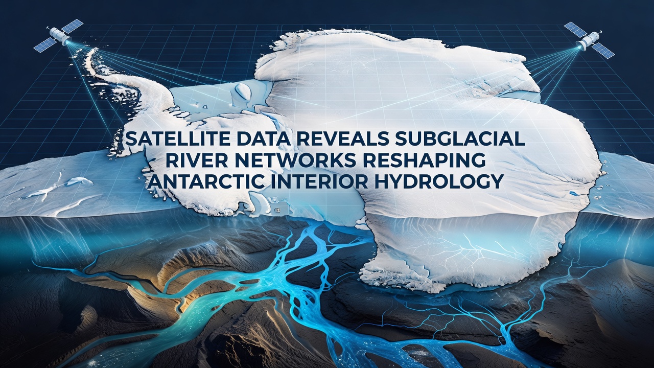
Subglacial river networks beneath Antarctica's vast ice sheets have come into sharper focus through satellite observations that track water movement and ice surface changes over time. These hidden systems carry meltwater from the continent's interior toward the coast, altering how ice flows and how pressure builds under thousands of meters of overlying ice. Data collected through 2026 shows these channels extend across hundreds of kilometers in regions previously considered stable, with activity noted in measurements taken during October of that year when seasonal transitions allowed clearer signals in radar and laser altimetry readings.
Detection Methods and Data Sources
Researchers rely on satellite altimeters and interferometric radar to map elevation shifts that indicate water filling or draining beneath the ice. Missions operated by NASA and the European Space Agency supply the core datasets, revealing depressions and uplifts on the surface that correspond to subglacial lake activity connected by river-like pathways. One study tracked a series of events where water volumes equivalent to small lakes shifted between connected basins, producing measurable surface responses within weeks rather than years. Such observations confirm that these networks function as dynamic conduits rather than static reservoirs.
Ground-penetrating radar from aircraft complements the orbital data by confirming channel depths and widths, yet the broad coverage comes from repeated satellite passes. Figures from the NASA ICESat-2 mission document elevation changes across the Wilkes Subglacial Basin and the Aurora Subglacial Basin, areas where river networks appear especially dense. Patterns emerge when analysts compare winter and summer acquisitions, highlighting flow directions that align with bedrock topography mapped by earlier surveys.
Hydrological Impacts on Ice Dynamics
Water moving through these subglacial rivers reduces basal friction in places, allowing faster ice movement toward the margins. In other zones, water accumulation increases pressure that can temporarily slow flow until drainage occurs. Satellite records from 2025 into October 2026 captured several instances where drainage events coincided with measurable acceleration in overlying ice streams, demonstrating direct links between hydrology and ice velocity. These shifts matter because they influence how much ice reaches floating shelves and eventually calves into the ocean.
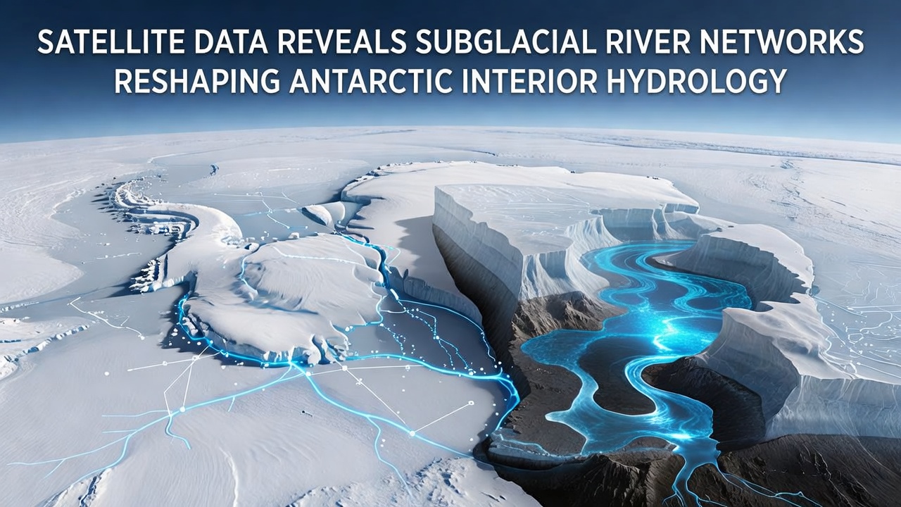
Evidence gathered across multiple basins shows that some river networks span from central domes to coastal outlets, transporting water that originates from geothermal heat and frictional melting at the bed. When these systems activate, they redistribute mass and modify the thermal regime at the ice-bed interface. Observers note that repeated drainage cycles appear in the same locations year after year, suggesting stable geological controls rather than random events. The cumulative effect over decades can alter the long-term trajectory of ice sheet evolution, particularly where networks intersect with known subglacial lakes.
Regional Variations and Recent Observations
Different sectors of Antarctica exhibit distinct network characteristics tied to bedrock geology and ice thickness. East Antarctic interiors host longer, more linear channels, while West Antarctic systems show greater branching and connectivity to known lake clusters. Data released in late 2026 refined earlier maps by incorporating higher-resolution laser altimetry that captured smaller tributaries previously below detection thresholds. These additions increased the total mapped length of active channels by roughly 15 percent in surveyed areas, according to analyses shared by international teams.
Seasonal signals strengthen during periods when surface meltwater from coastal regions occasionally reaches inland through fractures, though most interior flow remains driven by basal sources. October 2026 datasets highlighted an uptick in drainage activity across several basins following a period of elevated geothermal flux detected in localized hotspots. Such timing provides researchers with opportunities to correlate satellite observations with seismic records that detect water movement at depth.
Integration with Climate and Sea Level Research
Improved understanding of subglacial hydrology feeds directly into models that project ice sheet contributions to sea level rise. When river networks efficiently drain water, they can stabilize certain regions by preventing sustained pressure buildup, yet they also deliver freshwater to the ocean that influences circulation patterns. Australian Antarctic Division reports and European datasets together illustrate how these processes vary across latitudes, offering calibration points for numerical simulations used by research centers worldwide.
Continued monitoring through upcoming satellite missions will track whether network activity intensifies with changing surface temperatures or remains governed primarily by subglacial conditions. Current records already demonstrate that these systems operate on timescales ranging from days to decades, requiring frequent observations to capture full cycles.
Conclusion
Satellite-derived maps of Antarctic subglacial river networks continue to expand the picture of a continent whose interior hydrology connects distant regions through hidden channels. Data extending through October 2026 reinforces that these networks actively reshape ice dynamics and water distribution beneath the surface. As observation capabilities advance, the resulting records will support more accurate representations of how Antarctica's ice sheet responds to both internal and external drivers over coming decades.